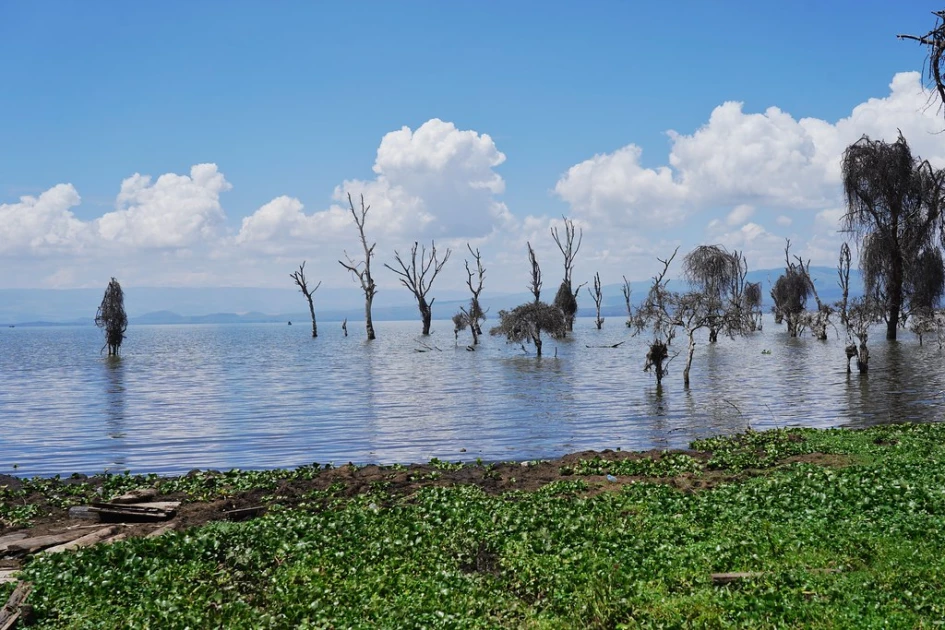
The rooftops of lakeside beach shades, where revelers once sat sipping drinks, now stand half-hidden beneath Lake Naivasha’s waters. Some have disappeared completely, leaving only the tops visible—a visible marker of how far the lake has surged.
According to Silas Wanjala, the General Manager of the Lake Naivasha Riparian Association, water levels are yet to rise to the official riparian contour boundary set in 1906, at 1892.1 metres above sea level, meaning there are chances that the waters will claim their land in the future.
“All these recent rises have not reached the official riparian contour boundary, which is 1892.1 meters above sea level. In 2020 and this year, a lot of people were marooned, which indicates that whichever facility was marooned sat on riparian land. As much as the lake rises, we have not reached a point where the lake waters reach that boundary,” he said.
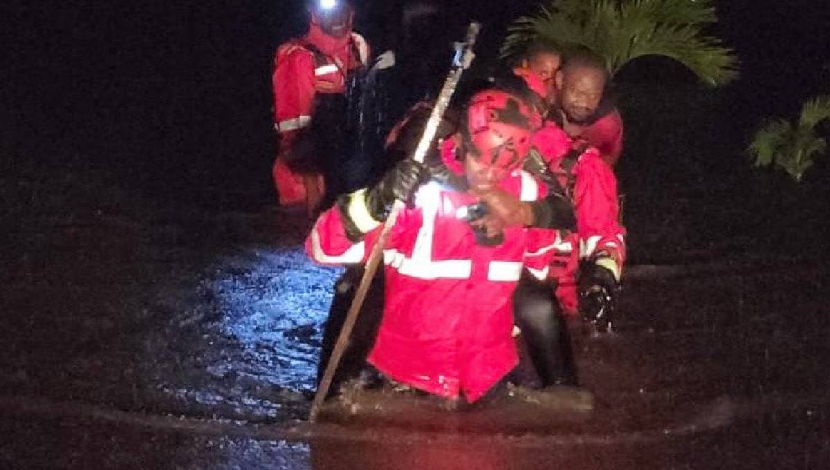
Since 2020, communities living near the lake have witnessed a steady rise in the water levels, with the lake rising sharply to 1,891.5 meters, displacing more than 4,000 people, most of them flower farm workers and fishermen.
The same waters that swallowed hotel shades and recreation areas have flooded homes in Kihoto village, a residential area long considered safe. The government had invested in paved streets and installed electricity poles to support a growing population. Today, sections of these roads lie partially submerged, while poles stand in waterlogged yards—underscoring how far Lake Naivasha has pushed beyond its traditional boundaries. Gilbert, a resident, says the recent surge advanced rapidly, reaching areas they never imagined would be underwater.
“Some houses are submerged while others are not. For now, we are forced to live like fish. This estate used to be a dry one; we don’t know what caused this lake to surge,” he said.
Some affected residents have been relocated to higher grounds and may never return home,Wanjala warns that this surge may serve as an early signal for permanent resettlement.
“To some extent, some of these challenges are created by the government. For example, in Kihoto, the mother survey plan that gave birth to Kihoto was initiated by the government. The surveyor plotted the contour line and determined that the parcel sits on riparian land, yet the government still approved subsequent developments,” he said.
A few blocks away, Karagita Public Beach is also heavily affected. Though the waters have receded, fishermen and beach managers report rising tensions over space for storing boats and preparing fish for the market. One plot owner has already gone to court, accusing beach managers of encroaching on his farm.
On the eastern side of the lake, luxury cottages stand halfway submerged, leaving investors counting losses. Flower farms have not been spared; what was once fertile land is now waterlogged, and despite efforts to create protective buffers, the effects are devastating.
Rising water levels are increasing human-wildlife conflict, adding another layer of stress to residents already grappling with displacement. As a mitigation measure, the Kenya Wildlife Service (KWS) has been forced to relocate several animals,Nancy Akinyi , a senior warden at the Hells’ Gate National Park says the animals moved include zebras and giraffes.
“The areas that the animals were using for foraging are submerged, so we had to make the animals more comfortable. What we’ve done is to handle animals affected by rerouting them to other places so that humans are not injured .For the animals in water there is nothing much we can do. The animals bringing the most challenges are the hippos and the buffaloes and the end result is finding them in human habitation,” she said.
Apart from moving residents to higher grounds, long-term environmental initiatives are also underway, with restoration projects in the lake’s catchment and riparian zones aiming to reduce future flooding risks.
The efforts have, however, been affected by weak enforcement of riparian laws. Hotels, farms, and homes have encroached into buffer zones, reducing the lake’s natural flood-absorption capacity. Indiscipline and unregulated development, coupled with environmental degradation upstream—including deforestation and soil erosion—have massively contributed to the lake’s rise. Experts argue that the current measures focus on evacuation and relief rather than proactive planning, climate-adapted infrastructure, or sustainable livelihoods.
“Whatever they are doing, calling investments, is detrimental to this lake, and this is a fragile ecosystem that requires protections.”
There have been radical proposals to relocate Kihoto. The people resettled elsewhere, but some propose that the community rethinks how the village coexists with the lake, by developing a community-based early-warning system where the community can observe changes in water color, unusual fish movements, or wildlife patterns to trigger timely alerts, giving families more time to safeguard property or evacuate. Such strategies signal a shift from reactive measures to proactive adaptation, blending local knowledge, engineering, and planning.
Written by Macharia Wamugo and Sheila Chelagat