Visible from Above, Vulnerable on the Ground
Africa is increasingly visible from space, yet many farmers remain in the dark about the changing weather patterns. While climate data and satellite based weather information continues to expand rapidly, many African subsistence farmers remain disconnected from these insights.
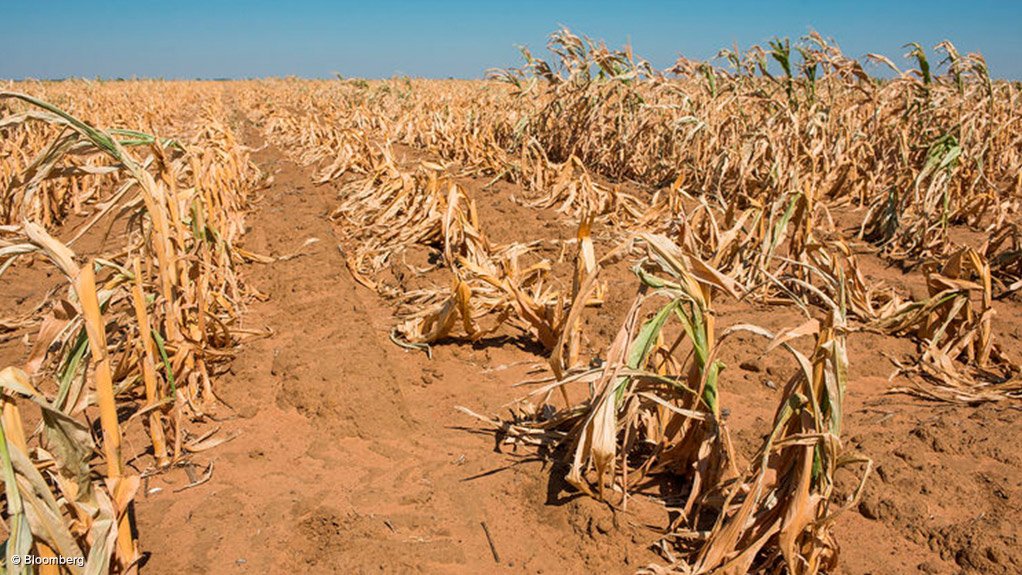
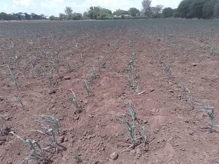
Across much of the continent, farmers and fishermen continue to rely on traditional farming calendars and indigenous weather indicators such as stars, moon cycles and animal behavior, despite clear shifts in climate and weather patterns. As these outdated systems increasingly become unreliable, the result is declining crop yields and rising threats to food security.
Hunger Rising Amid Climate Uncertainty
According to the Food and Agriculture Organization (FAO), hunger in Africa continues to rise even as global hunger trends show signs of stabilization. By 2024, more than 307 million people, about 20 percent of Africa’s population, were affected by hunger, with Eastern, Western, and Central Africa among the hardest hit.
FAO projections suggest that by 2030, nearly 60 percent of the world’s hungry population could be living in Africa, driven largely by conflict, climate shocks and rising food prices. Climate-driven uncertainty in agriculture is now a major contributor to this trajectory.
Despite this, Africa remains underprepared when it comes to weather forecasting. The Associated Press has reported that poor forecasting capacity continues to leave much of the continent exposed to climate shocks, even as extreme weather events become more frequent.
The World Meteorological Organization (WMO) has warned that Africa is warming faster than the global average, at approximately 0.3°C per decade between 1991 and 2023, with North Africa warming even more rapidly. Rainfall patterns are becoming increasingly unpredictable: Arriving late, falling intensely over short periods, or failing altogether, disrupting long-established agricultural cycles.
Traditional Knowledge Meets a Changing Climate
Farmers on the ground continue to feel these changes with no clue on what to do next.
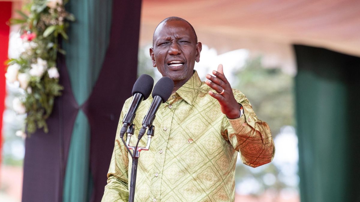
“December used to be a month for late harvests and early land tillage,” says Wafula, a subsistence farmer from Bumula in Bungoma County, western Kenya.
“Nowadays, because of humidity in early December, we are deceived to plant, only for the crops to start drying in early January when the rains stop.” His experience mirrors that of millions of small-scale farmers across Africa, where planting decisions based on inherited knowledge increasingly lead to losses rather than stability.
Ironically, the technology capable of addressing this challenge already exists. Satellites are widely used to map weather patterns, monitor droughts, predict floods, and analyze vegetation health. Space based climate and weather data can support early warning systems, improve seasonal forecasts, and guide climate-smart agriculture. Platforms such as Digital Earth Africa provide open access to decades of satellite data on land use, water resources, and environmental change. These tools are already being used to map coastal vulnerability in Kenya, track shoreline erosion and monitor wetlands across East Africa.
However, for most small-scale farmers, this information remains distant. Weather and climate data is often filtered through institutions, policy reports or national systems that do not translate into timely, localized guidance farmers can trust and act upon. There’s data, but the gap is the absence of delivery, interpretation and community-level engagement.
Africa: Observed or Active Participant?
This reflects a notable pattern in how space technology is used across Africa. Satellite imagery over the continent is widely applied to surveillance, security analysis and open-source intelligence reporting, particularly in conflict-affected regions such as the Sahel and the Horn of Africa. According to the African Union, while more than a dozen African countries have launched satellites or established space agencies, Africa still accounts for a very small share of the global space economy. Participation exists, but control and grassroots application remain limited.
Humanitarian agencies already rely on satellite data to assess damage, track displacement, and monitor food insecurity in inaccessible regions. The World Food Programme uses satellite imagery to analyze crop conditions and anticipate food shortages. However, these insights rarely reach the farmers whose decisions determine food production in the first place.
From Data to Action: Empowering Farmers
Bridging this gap is very important for inclusive growth. Expanding space benefits to all Africans means translating satellite data into practical tools for farmers, localized weather forecasts, early warning alerts and seasonal guidance delivered in accessible formats. It requires partnerships between space agencies, meteorological departments, agricultural NGOs and development communicators to ensure information moves from orbit to the field. It also demands investment in African-led data analysis, education, and storytelling that connects space science to lived realities.
Without this shift, Africa risks remaining a subject of space technology rather than a contributor to it. visible from above, yet vulnerable on the ground. As climate change accelerates and food security risks deepen, the question remains, will Africa claim its place in shaping how space is used to protect livelihoods, strengthen resilience, and secure the future of its food systems.