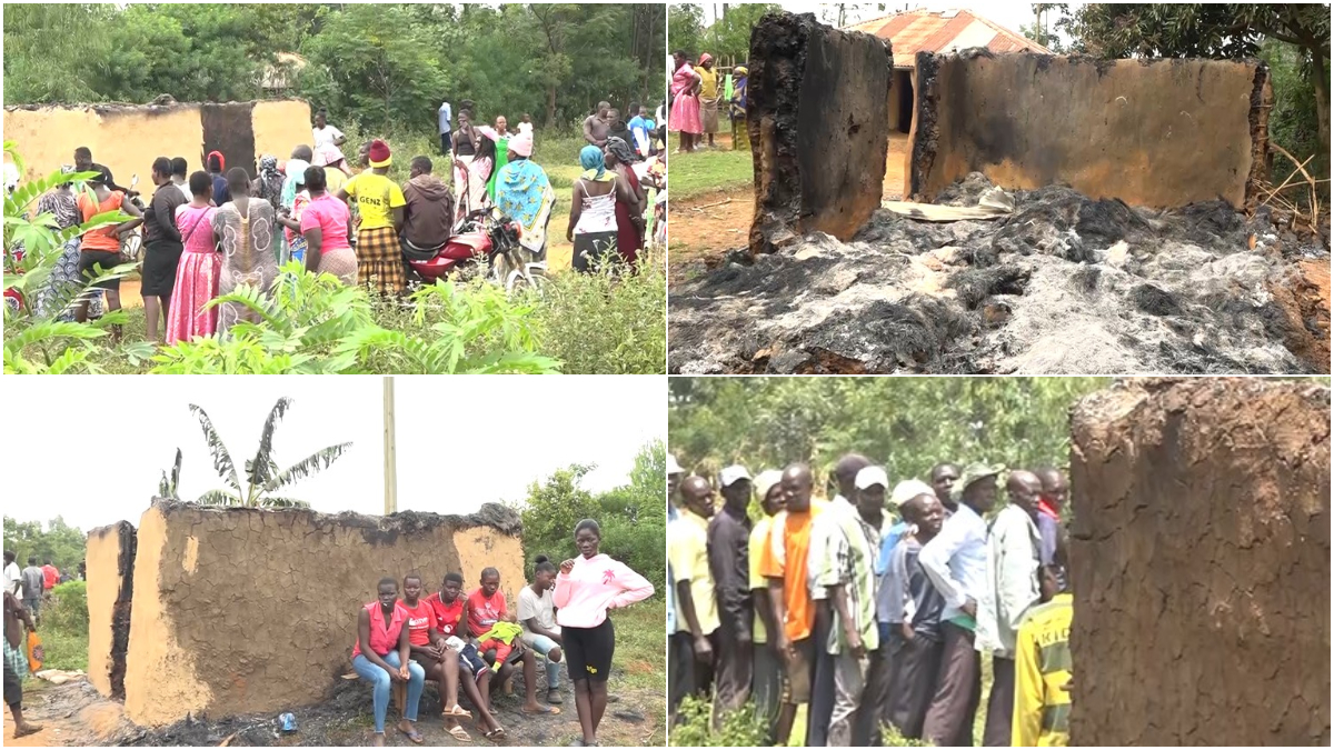
As of May 2, 2026, a total of 18 fatalities have been recorded nationwide, most of them linked to drowning.
The Eastern region has recorded the highest number of fatalities (9), followed by the Central region (3), Coast (2), Nairobi (2) and Rift Valley (2).
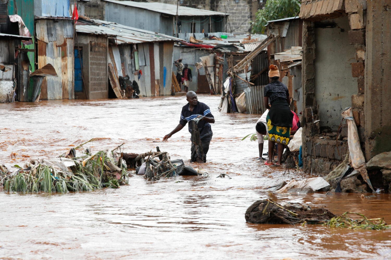
In Nairobi alone, flooding has affected an estimated 6,600 people and displaced with damage reported to roads, schools, and residential areas across several sub-counties.
Central region counties, including Kirinyaga and Kiambu, have reported widespread flooding of homes, destruction of infrastructure such as bridges and roads.
Mwea West alone has approximately 3,000 people displaced. In Eastern region, Makueni had the highest fatalities across counties with flash floods and mudslides also causing destruction of homes, and damage to roads and power infrastructure.
Locals, residents and communities living along the Lower Tana River, and in other flood-prone areas in the Coast, Northeastern, Highlands, Rift Valley, and Nairobi regions are advised to remain on high alert and to immediately move to higher ground when instructed by security authorities.
The Government, in collaboration with multi-agency response teams, continues to monitor the situation and coordinate response efforts across affected regions.
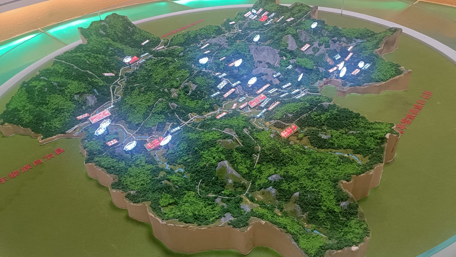
Meanwhile, the Government has identified 59 areas facing the risk of flooding in Tana River’s five sub-counties. Majority of the areas (32) at risk of flooding are in the Tana Delta Subcounty, while ten (10) are in Tana River Sub-County and eight (8) in Bangale Sub-County.
Six (6) areas have been identified as flood-prone in Tarasaa Sub-County and three (3) in Tana North.
The low altitude areas in Tana Delta include Feji, Kiembe, Halubha, Sera, Bwoka, Tsanankuu, Godhey, Dobaley, Abaganda, Salama, Ndera, Wema, Galili, Chira, Bilisa, Shirikisho and Kipini Division.
Others are Miliki, Majaliwa, Onido, Ndiponi, Kau, Kilelengwani, Kalota, Pungaupepo, Kidhanga, Diribu, Magogoni B, Kajisten, Ndimimbii, Ribe А and Ozi Mtangani.
In Tana River Sub-county, identified areas include Masabubu, Rhoka, Kinakomba-Boji, Emmaus, Watta Hamesa, Vukoni, Mkomani, Bondeni, Laza-Makaburini and Makere.
Others are Bowa, Mbalambala, Mororo, Saka, Madogo, Tula, Ziwani and Bulto Banta areas in Bangale Sub-County, Bura, Chewele and Hirimani locations in Tana North Sub-county.
In Tarasaa Sub-county, areas identified include Kipao, Ongonyo, Odole, Konemansa, Kigomo and Manono.
The mapping exercise follows recent alerts warning of increased flooding risk due to rising river levels of the Seven Forks Dam.
The situation in Tana River reflects a broader pattern of flooding being experienced across multiple regions in the country.