
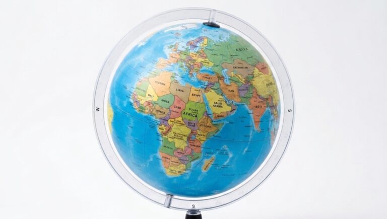
The United Nations General Assembly has adopted a resolution calling for greater use of map projections that more accurately show the relative size of the world’s regions, with particular attention to Africa.
The resolution, titled “Correct the Map”, was adopted on September 4, 2026, with 164 countries voting in favour, one against and six abstaining.
The initiative was pushed by Togo on behalf of the African Group after being endorsed by the African Union earlier this year.
The resolution does not ban the widely used Mercator projection or require countries to replace existing maps. Instead, it encourages governments, schools, media organisations, international institutions and digital platforms to consider equal-area projections, including Equal Earth, when showing the relative size of land areas.
The move has renewed debate over how Africa is portrayed on maps used in classrooms, newsrooms and digital platforms.
The Mercator projection was developed by Flemish cartographer Gerardus Mercator in 1569 and remains useful for navigation because it preserves angles and directions. However, it significantly distorts the size of landmasses, particularly those farther from the Equator.
As a result, Greenland can appear almost comparable in size to Africa on some Mercator maps, despite Africa covering about 30.37 million square kilometres compared with Greenland’s roughly 2.16 million square kilometres.
The Equal Earth projection, developed in 2018, is designed to preserve the relative areas of continents while maintaining recognisable shapes.
African Union Commission Chairperson Mahmoud Ali Youssouf welcomed the UN vote, praising Togo for advancing the initiative and describing it as an important step towards more accurate representation of Africa.
The resolution also recognises that no single map projection can perfectly represent the Earth’s curved surface on a flat map. It therefore does not call for the complete abandonment of Mercator, which remains useful for maritime and aerial navigation.
Instead, it encourages the use of appropriate projections depending on the purpose of a map, especially where comparing the actual size of regions is important.
The United States was the only country to vote against the resolution. Six countries, including Ukraine, Georgia, Serbia, Estonia, Lithuania and Moldova, abstained.
The US said the resolution reflected a broader ideological agenda and argued that the General Assembly should focus on issues such as peace, prosperity and international cooperation.
France, which co-sponsored the resolution, said it would move away from the Mercator projection in its own mapping.
For Africa, the debate goes beyond cartography. Supporters say the way maps are presented can influence how people understand the size, importance and position of different parts of the world.
The resolution now relies on voluntary action by governments, educators, publishers and technology companies. It also invites UNESCO, UNDP and other international bodies to work with the African Union and academic institutions on education and capacity building in geospatial information.
The African Union says it will continue working with Togo and other partners to promote maps that more accurately reflect the actual size of the world’s regions.
“Africa must be represented as it truly is: in its true dimensions and in its rightful place in the world,” the AU leadership said.