
Kenya’s arid and semi-arid lands cover nearly 90 percent of the country’s landmass, sustain millions of people, hold 70 percent of the national livestock herd, and underpin tourism, biodiversity and water security.
Yet for decades, much of this natural wealth has remained undocumented, leaving it vulnerable to degradation, land conflicts and unsustainable development.
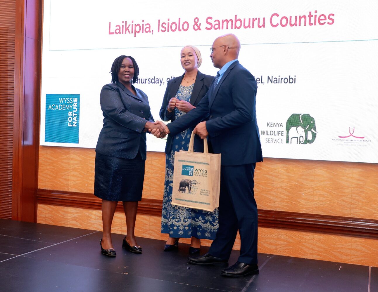
On Wednesday, the National Land Commission (NLC) unveiled the country’s first Dryland Natural Assets Inventory and Participatory Mapping Reports for Laikipia, Samburu and Isiolo counties, marking what officials described as a significant shift toward evidence-based environmental governance.
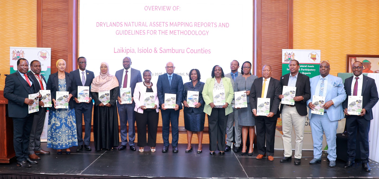
The reports combine satellite mapping, Geographic Information Systems (GIS), field surveys and indigenous knowledge to identify critical natural assets including rivers, wetlands, wildlife corridors, grazing reserves, salt licks and dense vegetation. Officials say the information will help guide land-use planning, conservation, climate adaptation and future investment.
The National Land Commision chairperson Dr Abdillahi Sagaaf said the launch marked a milestone in Kenya’s jounrey towards safeguarding our natural heritage through informed land governance, evidence-based planning and responsible stewardship of the shared resources.
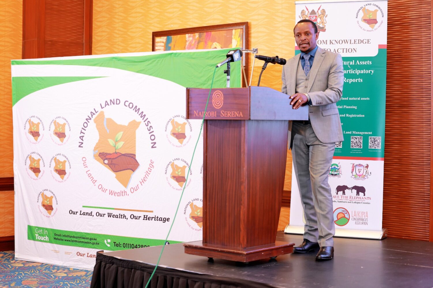
“Today’s launch is a culmination of an ambitious journey that began with a simple but fundamental question: How do we secure and sustainably manage natural assets that have never been documented?” said National Land Commission Chief Executive Officer Kabale Tache Arero.
“These reports are therefore not simply publications. They are the product of an extensive, inclusive and evidence-driven process… bringing together local communities, county governments, national agencies, researchers, conservation organisations and development partners.”

For the Commission, she said, effective land governance begins with reliable information.
“Decisions on land administration, community land registration, physical planning and development control should never be made in the absence of accurate information about the natural resources that sustain people, biodiversity and local economies.”
The mapping exercise builds on the Kenya Natural Resources Atlas but goes a step further by creating detailed county-level inventories grounded in community participation.
By combining scientific methods with indigenous knowledge, Arero said, the reports provide “exactly the kind of evidence that strengthens planning, supports sustainable investment, policy and safeguards public interest.”
The reports challenge the long-held perception that Kenya’s drylands are unproductive “wastelands.”
According to the inventory, Kenya covers approximately 582,646 square kilometres, with about 90 percent consisting of arid and semi-arid landscapes.
These regions host roughly 70 percent of the country’s livestock, valued at an estimated Sh70 billion, while also supporting tourism, wildlife conservation, renewable energy, carbon storage and mineral resources.
Globally, drylands cover around 40 percent of Earth’s land surface, supporting nearly two billion people, according to the United Nations Convention to Combat Desertification (UNCCD).
Yet approximately six million square kilometres have already been degraded, costing developing countries an estimated 4 to 8 percent of GDP every year.
In Kenya alone, land degradation in dryland areas is estimated to cost the country approximately US$1.5 billion annually, equivalent to around 5 percent of GDP.

The report warns that climate change is compounding the challenge. Between 1980 and 2020, Kenya recorded an average temperature increase of approximately 1°C, with more than 76,000 square kilometres shifting into hotter climatic zones.
Environment and Climate Change Principal Secretary Dr. Eng. Festus Ng’eno said the reports redefine how Kenya should view its drylands.
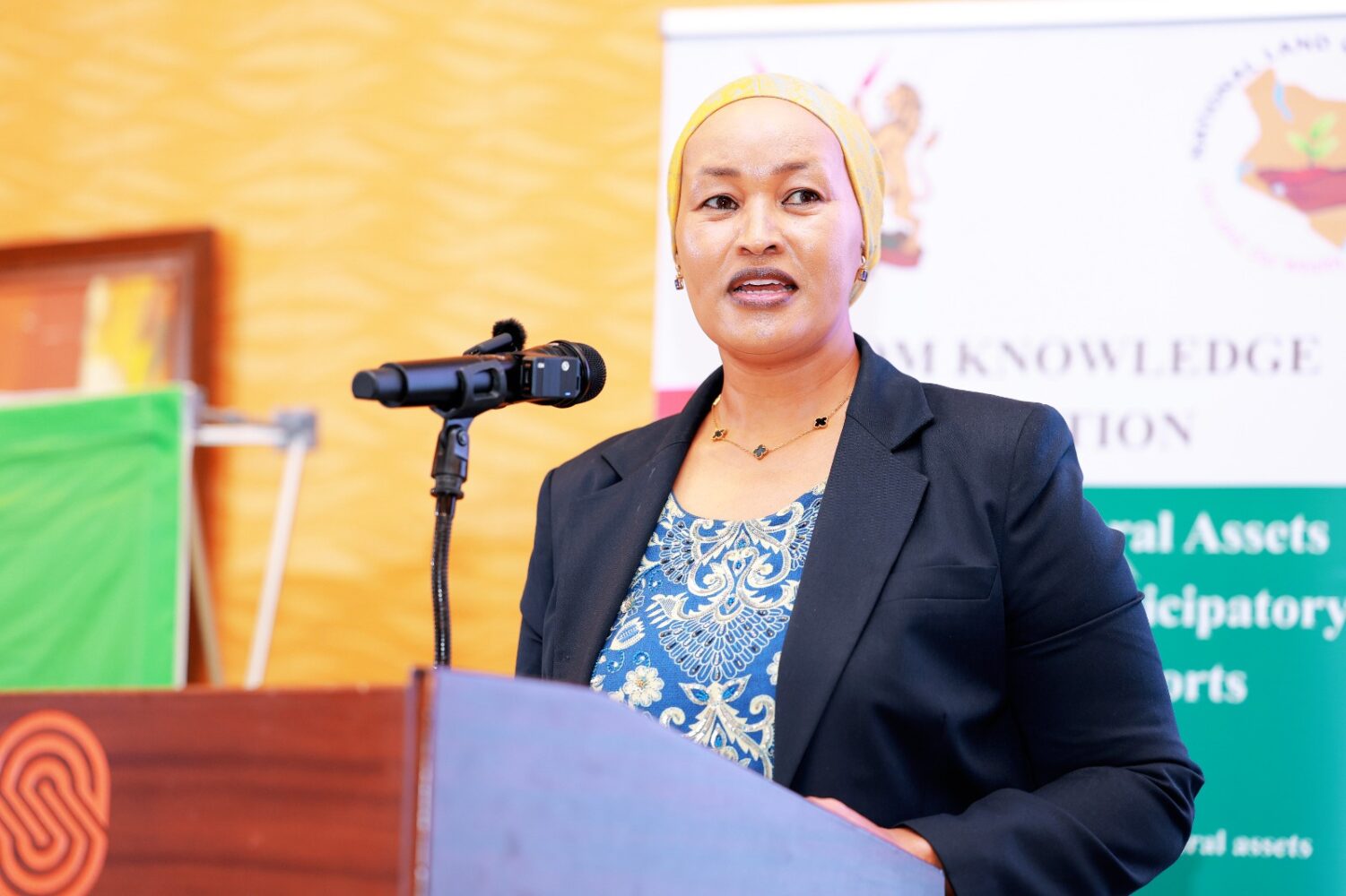
“Some see empty spaces; we see opportunity,” he said, in his speech, read by Environment Secretary Dr Sally Kimosop.
“Some see harsh environments; we see ecosystems that sustain millions of livelihoods, support biodiversity, store carbon, regulate water systems and provide the foundation for pastoral economies that have thrived for generations.”
Ng’eno said landscapes across Samburu, Isiolo and Laikipia are increasingly central to Kenya’s climate resilience but face mounting pressure from population growth, competing land uses, infrastructure development and climate change.
“Managing these competing interests without accurate information is like trying to navigate unfamiliar terrain without a map,” he said.
He described the inventories as practical planning tools capable of supporting county spatial planning, environmental governance, climate adaptation, land-use planning and conflict prevention.

One of the defining features of the project was its reliance on participatory mapping.
Community elders, women, youth, pastoralists and local leaders worked alongside researchers and government agencies to identify culturally and ecologically important sites that may not appear on conventional maps.
“The mapping process was participatory,” Ng’eno said.
“Communities were not treated merely as sources of information; they became partners in generating knowledge.”
He said local knowledge of seasonal grazing routes, water points and indigenous conservation practices strengthens scientific evidence and leads to more inclusive decision-making.
The report similarly argues that documenting traditional ecological knowledge can help protect community rights, reduce land conflicts and strengthen long-term conservation.
Officials stressed that the inventories are intended not only to conserve ecosystems but also to unlock economic opportunities.
The mapping is expected to support climate finance, natural capital accounting, payment for ecosystem services, wildlife conservation programmes and sustainable investment in renewable energy, tourism and livestock production.
According to the report, Kenya’s drylands possess significant untapped economic potential, including carbon sequestration, biodiversity conservation, ecotourism, renewable energy and climate-resilient agriculture.
The Commission also hopes the data will strengthen implementation of constitutional and legal obligations relating to public land management, environmental protection and county spatial planning.
Although the pilot focused on Isiolo, Samburu and Laikipia, the National Land Commission says it intends to expand the initiative across all arid and semi-arid counties before ultimately developing a comprehensive national inventory of Kenya’s natural assets.
“The true success of this initiative will be measured by how effectively these reports inform policy, strengthen land administration and spatial planning, support conservation, reduce land and resource conflicts, and promote sustainable management of Kenya’s natural heritage,” Arero said.
She concluded with a call that captured the day’s message.
“Together, we have documented nature. Now, together, let us protect it.”